D124, BDB 86/1/3473 Sankey Family Photographic Archive © Cumbria Archives
https://www.sankeyphotoarchive.uk/collection/view/?id=4994
no.D124
Crummock water from Scale Hill
Early 20th Century
Looking down on Crummock water on the left from somewhere near Scale Hill and Brackenthwaite Hows. Melbreak behind on the right. (Lat/Long: 54.34.58 N 3.19.00 W)
| Location: | Cockermouth | Cumbria Archives Reference: | BDB 86/1/3473 |
|---|---|---|---|
| Sankey Number: | D124 |
More Items
Album D 1-689 Sankey Family Photographic Archive © Cumbria Archives
Album Number: Album D 1-689
Page Number: 6
All Images on This Page
| Sankey Number | Image Title | Location Image Taken | Description |
|---|---|---|---|
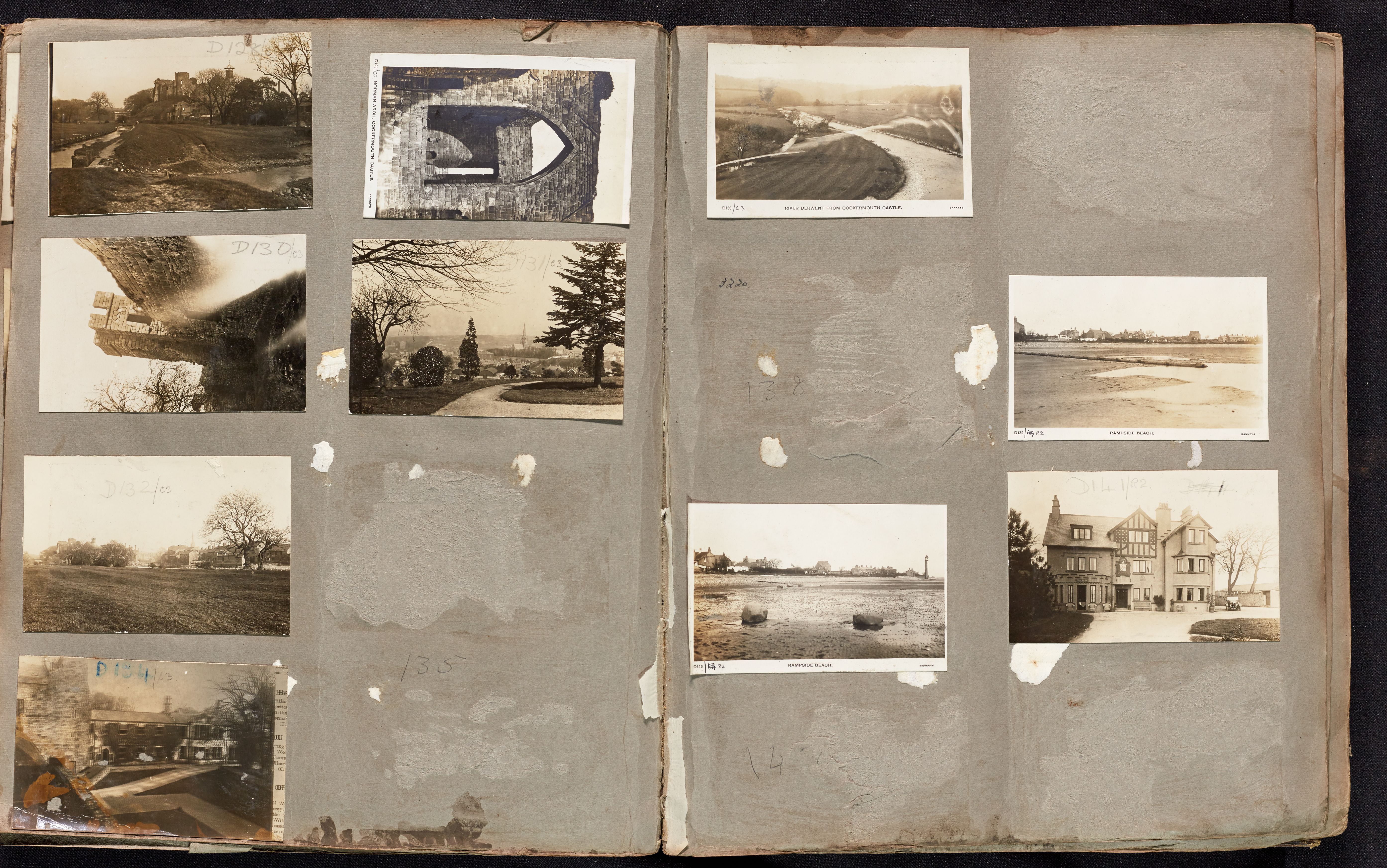
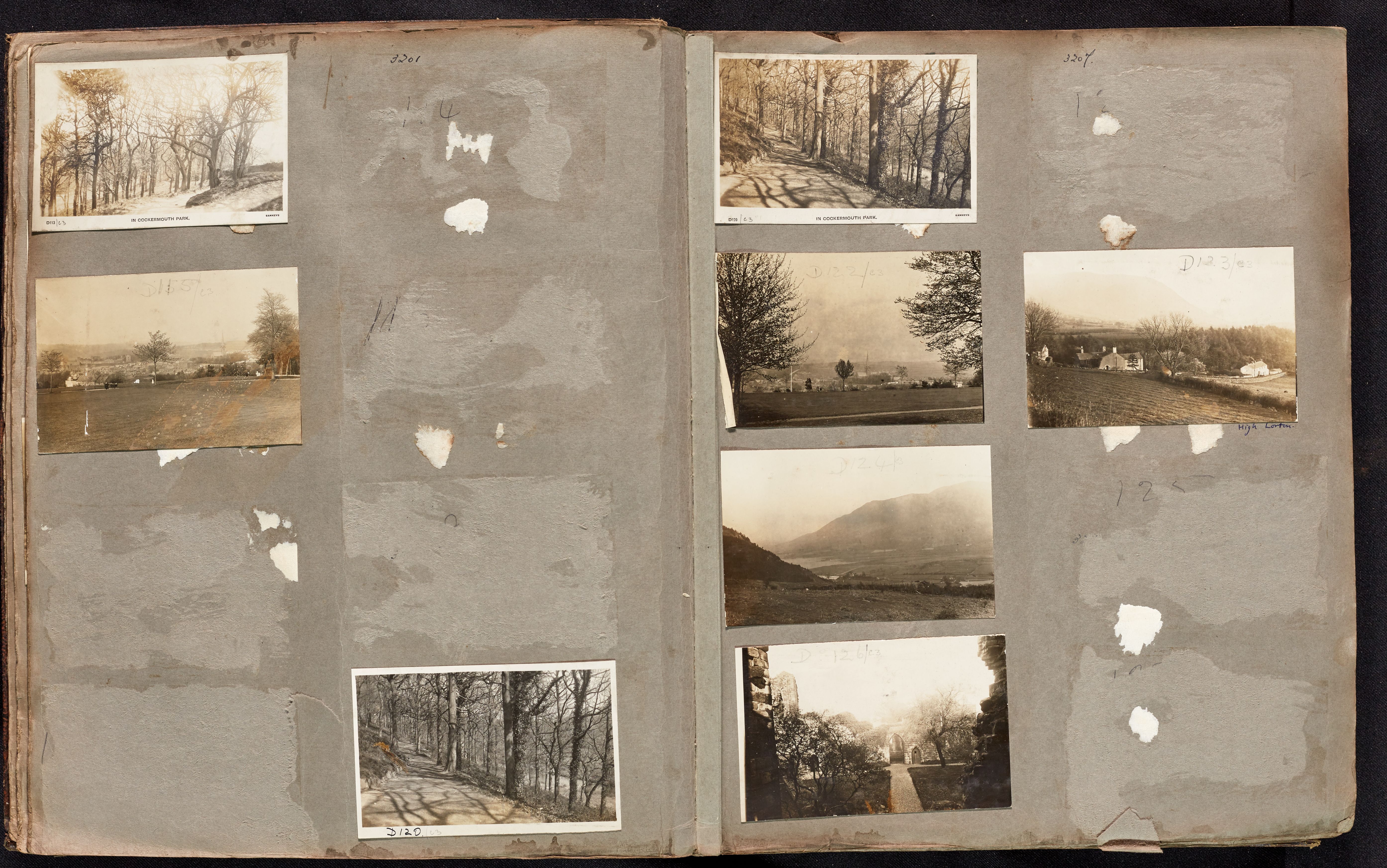
| D113 | In Cockermouth Park | Trees and a path | |
| D114 | Crown Street, Cockermouth | ||
| D115 | No name | View of a town from a park. Castle and church with spire in distance, lady, pram and child in park. | |
| D116 | Cockermouth Castle | A view across the Derwent to the Castle and All Saints Church | |
| D117 | Rubbybanks Mill - Tinker's Mill and the old mill weir, Cockermouth | ||
| D118 | Cockermouth | Cockermouth Castle with All Saints Church beyond. | |
| D119 | The War Memorial and Station Street | ||
| D120 | In Cockermouth Park | Trees and a path | |
| D121 | Cockermouth Castle | Trees and a path | |
| D121 | Cockermouth Castle | ||
| D122 | No name | Looking down on a town with large church with a spire. | |
| D123 | No name | Ploughed field with buildings behind | |
| D124 | No name | Lake and Mountains and fields in a flat valley bottom | |
| D125 | Harris Park | A view North over the town from Harris Park | |
| D126 | No name | Path to ruined gateway | |
| D127 | Derwent Mills (Harris Mill) |
Related Items
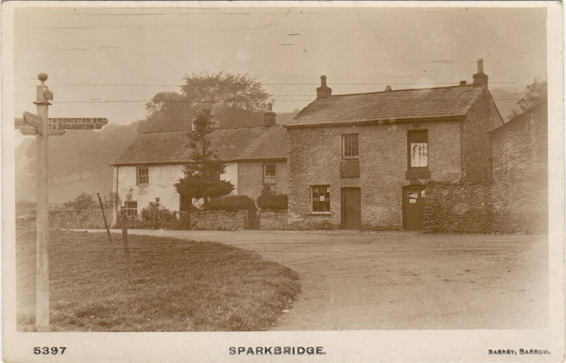
5397

1404