
D123, BDB 86/1/3472 Sankey Family Photographic Archive © Cumbria Archives
no.D123
High Lorton
Early 20th Century
Looking across a field with buildings near the road, telegraph poles and a monkey-puzzle tree. Grasmoor on the left and Melbreak on the right. This was taken from somewhere near High How at High Lorton. ( Lat/Long: 54.37.10N 3.17.36W)
| Location: | Cockermouth | Cumbria Archives Reference: | BDB 86/1/3472 |
|---|---|---|---|
| Sankey Number: | D123 |
More Items
Album D 1-689 Sankey Family Photographic Archive © Cumbria Archives
Album Number: Album D 1-689
Page Number: 6
All Images on This Page
| Sankey Number | Image Title | Location Image Taken | Description |
|---|---|---|---|
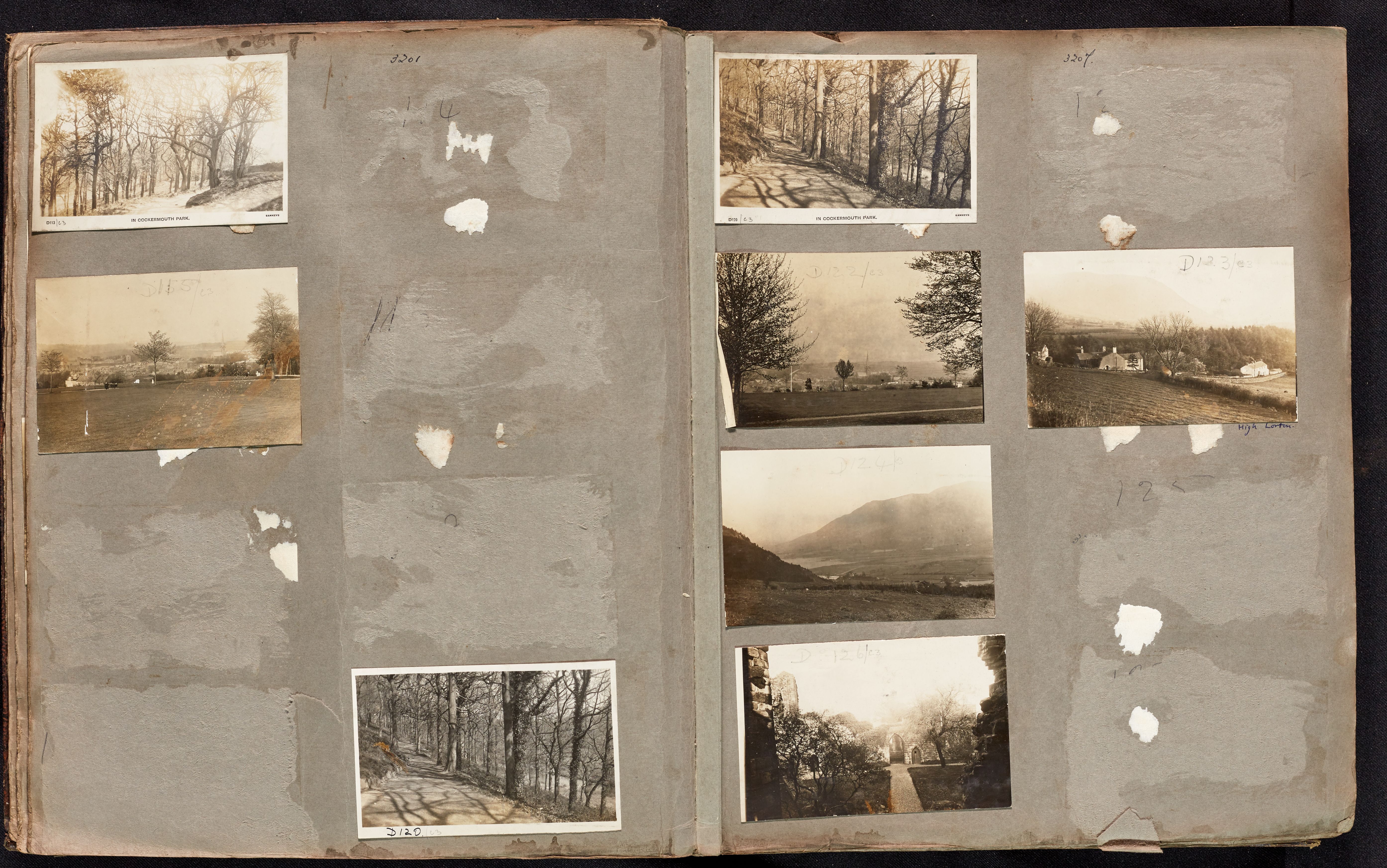
| D113 | In Cockermouth Park | Trees and a path | |
| D114 | Crown Street, Cockermouth | ||
| D115 | No name | View of a town from a park. Castle and church with spire in distance, lady, pram and child in park. | |
| D116 | Cockermouth Castle | A view across the Derwent to the Castle and All Saints Church | |
| D117 | Rubbybanks Mill - Tinker's Mill and the old mill weir, Cockermouth | ||
| D118 | Cockermouth | Cockermouth Castle with All Saints Church beyond. | |
| D119 | The War Memorial and Station Street | ||
| D120 | In Cockermouth Park | Trees and a path | |
| D121 | Cockermouth Castle | Trees and a path | |
| D121 | Cockermouth Castle | ||
| D122 | No name | Looking down on a town with large church with a spire. | |
| D123 | No name | Ploughed field with buildings behind | |
| D124 | No name | Lake and Mountains and fields in a flat valley bottom | |
| D125 | Harris Park | A view North over the town from Harris Park | |
| D126 | No name | Path to ruined gateway | |
| D127 | Derwent Mills (Harris Mill) |
Related Items
7325
5966
